


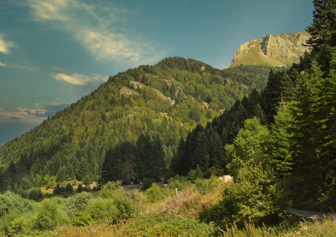
I woke up to the sound of my own teeth chattering, a rhythmic clatter echoing off the wet limestone walls of a crumbling shepherd's hut. The digital display on my watch read minus two degrees, but the wind coming off the ridge made it feel like minus ten. I was sitting on a rock that felt ancient enough to predate the concept of borders, staring across a void of mist at the Albanian side of Korab Mountain. There was no fence here. No wire. Just a jagged line of granite teeth separating two countries that share more DNA in their valleys than they do in their parliaments. I took a sip of lukewarm coffee from a tin mug, burned my tongue, and decided that this was exactly the kind of suffering I had traveled three thousand kilometers to find.
The trail up Galičica is crowded with day-trippers from Skopje looking for a picnic. The climb up Korab is different. It is a slow, grinding pilgrimage into the high alpine zone, where the air gets thin and the silence gets heavy. This is not a hike for the Instagram crowd. It is a hike for the people who want to see where the map ends and the wild begins. I had spent the previous night in the village of Mavrovo, listening to the wolves howl in the distance, and now I was walking into the heart of that same wilderness. The goal was the summit, but the real prize was the feeling of being utterly alone in a landscape that doesn't care if you make it back down.
The Last Frontier of the Balkans
Korab Mountain is the highest peak in North Macedonia and Albania, rising to 2,764 meters. It is a place of geological violence and botanical serenity. The mountain forms a natural border between the two countries, a spine of rock that has seen empires rise and fall, from the Romans to the Ottomans, to the Yugoslav era. Today, it is part of the Korab-Koritnik Nature Park on the Macedonian side, a protected area that spans over 16,000 hectares of pristine wilderness. The Albanian side is part of the Korab National Park, established in 2013, making this one of the few transboundary protected areas in the region.
The history here is written in stone and soil. The name "Korab" likely comes from the Slavic word for "crown" or "peak," reflecting its dominance over the surrounding landscape. In ancient times, it was known as "Orbelos," and it served as a strategic lookout point for the Byzantine Empire. The mountain has always been a refuge for those fleeing conflict. During the Ottoman period, it was a base for rebels and bandits. Today, it is a refuge for hikers, botanists, and anyone looking to escape the noise of the modern world. The border here is not a barrier; it is a bridge, a place where cultures and ecosystems blend seamlessly.
What makes Korab unique is its isolation. Unlike Bjelasica or Bobotov Kuk in Montenegro, which are easily accessible from major tourist hubs, Korab is remote. The roads are rough, the villages are small, and the infrastructure is minimal. This is not a flaw; it is a feature. It means that when you reach the summit, you are not sharing it with a crowd. You are sharing it with the wind, the birds, and the occasional shepherd tending his flock. It is a place where you can hear your own thoughts, and sometimes, that is the loudest sound in the world.
A Living Museum of Alpine Flora
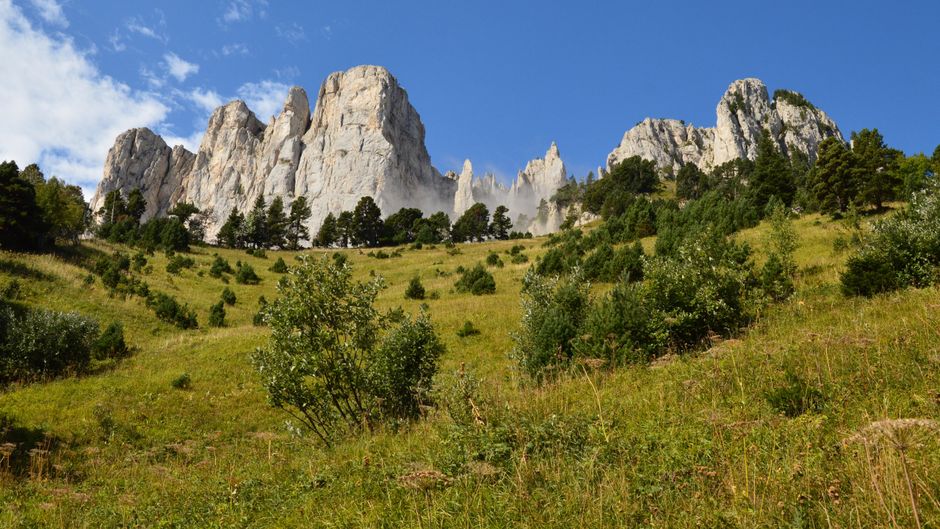
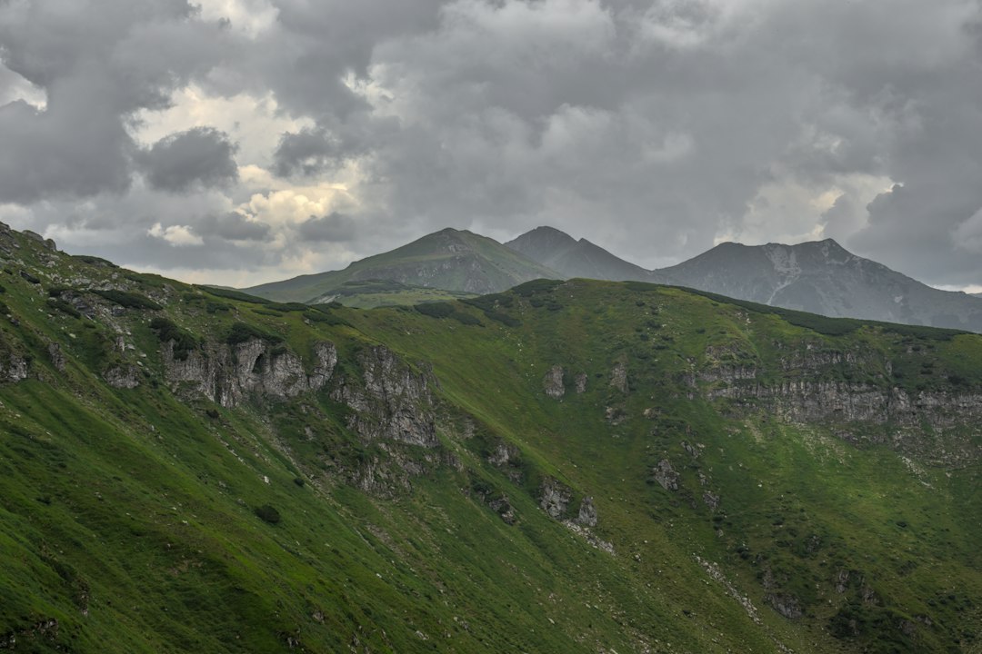
The vegetation on Korab is a testament to its isolation and altitude. As you climb, the landscape changes dramatically. The lower slopes are covered in dense forests of beech and spruce, with patches of pine and larch. Above the tree line, at around 2,000 meters, the forests give way to alpine meadows, a sea of green dotted with wildflowers. These meadows are a botanical treasure trove, home to over 800 species of plants, many of which are endemic to the region.
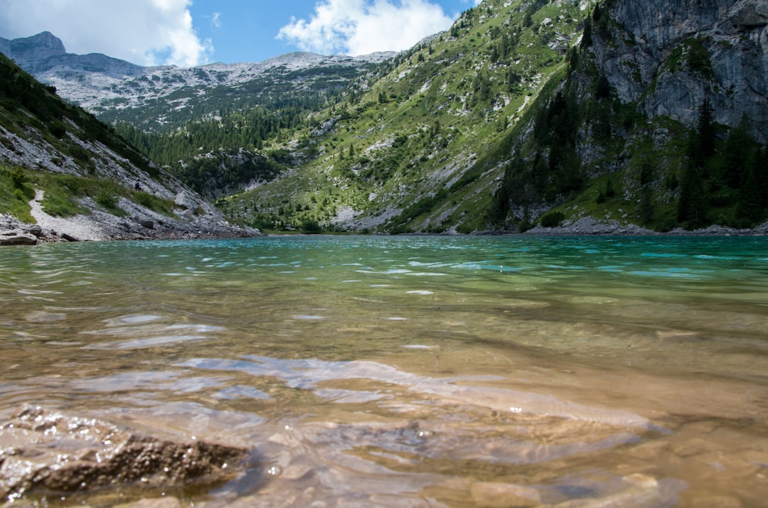
One of the most striking features of Korab is the presence of glacier relics in the form of ancient lakes. The Korab Lakes, a series of small, high-altitude tarns, are scattered across the summit plateau. These lakes are not just beautiful; they are ecological oases, supporting a unique array of aquatic and riparian species. The water is crystal clear, fed by snowmelt and underground springs, and it reflects the sky in a way that makes you feel like you are floating in space. The lakes are also a haven for birds, including the golden eagle, the alpine chough, and the rock ptarmigan.
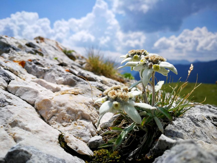
Among the flora, the Korab edelweiss (Leontopodium alpinum) is a symbol of the mountain's purity and resilience. This delicate white flower grows only in the highest, most exposed areas, where the wind is fierce and the soil is thin. It is a reminder that beauty often thrives in the harshest conditions. Other notable species include the alpine gentian, with its vibrant blue flowers, and the mountain avens, with its pink, star-shaped blooms. These flowers are not just pretty; they are a sign of a healthy, undisturbed ecosystem. They are the canaries in the coal mine, warning us of the fragility of this world.
Routes & Trail Info
The most common route to the summit of Korab starts from the village of Radožda or the Korab Hut (Korab Mountain Refuge). The Korab Hut is a small, basic shelter located at 2,100 meters altitude, offering dormitory-style accommodation and simple meals. It is the best base for a summit attempt, as it cuts the hiking time significantly. The hut is open from late spring to early autumn, but conditions can be harsh even in summer, so bring warm clothing and a sleeping bag.
Route 1: From Korab Hut to Summit. This is the standard route, covering a distance of approximately 6 km one-way, with an elevation gain of 650 meters. The trail is well-marked but steep in places, with loose scree and rocky sections. The estimated duration is 3-4 hours one-way. Difficulty: Intermediate. This route offers stunning views of the Albanian border and the Korab Lakes.
Route 2: From Radožda Village to Summit. For those who prefer a longer, more gradual climb, you can start from Radožda, a small village at 1,600 meters. The distance is approximately 10 km one-way, with an elevation gain of 1,150 meters. The estimated duration is 6-7 hours one-way. Difficulty: Intermediate to Experienced. This route passes through beautiful beech forests and alpine meadows before reaching the hut.
Route 3: Transboundary Trek. For the adventurous, it is possible to cross into Albania and hike the Korab ridge to the Albanian summit. This requires proper border documentation and a guide, as the border area is sensitive. The trek covers approximately 15 km round-trip, with significant elevation changes. Estimated duration: 8-10 hours. Difficulty: Experienced. This route offers a unique perspective on the mountain and the border landscape.
Getting There & What to Expect
The nearest town with road access to the trailhead is Mavrovo, located about 20 km from the Korab trailhead. Mavrovo is a well-known ski resort and nature park town, accessible by bus from Skopje (approx. 2.5 hours, 8-10 EUR) or by car (approx. 1.5 hours). From Mavrovo, you can hire a taxi or a 4x4 vehicle to take you to the Korab Hut or Radožda. The road is unpaved and rough, especially in wet conditions, so a high-clearance vehicle is recommended. The taxi ride costs approximately 30-50 EUR one-way.
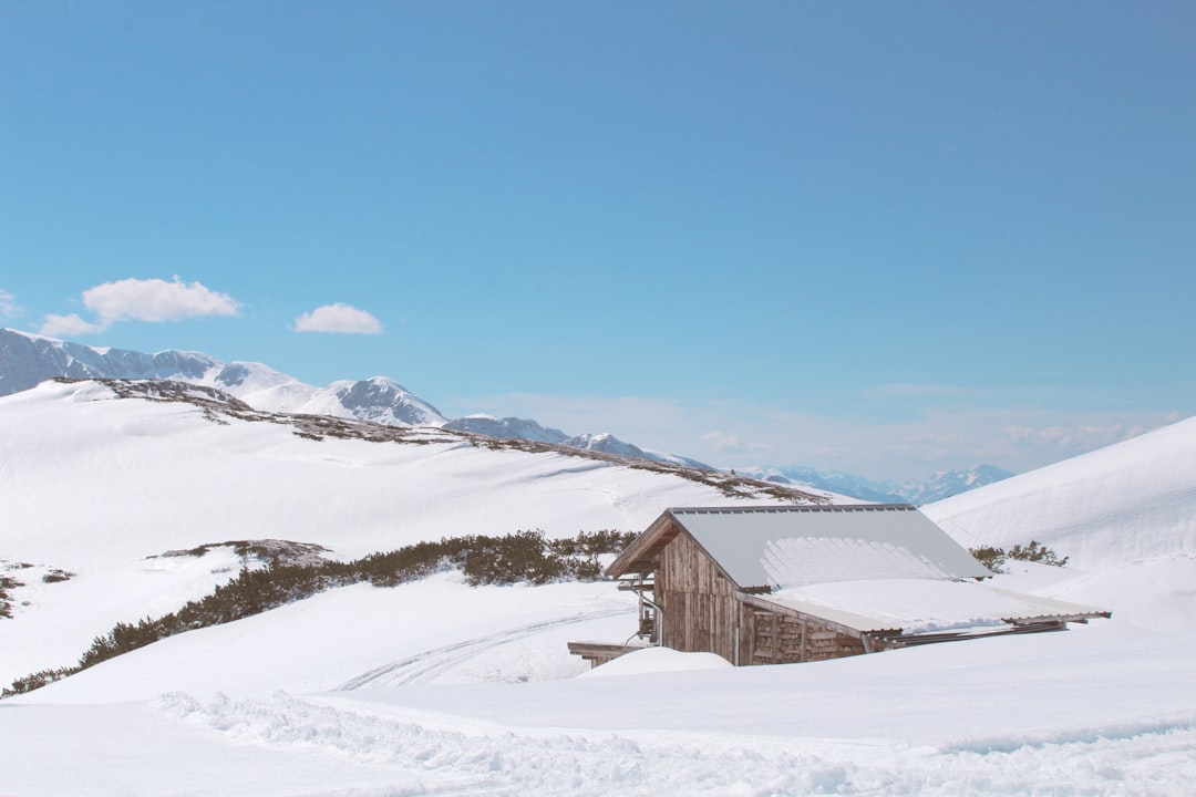
Accommodation options in the area are limited. The Korab Hut offers dorm beds for 15-20 EUR per night, with meals available for 10-15 EUR per person. In Mavrovo, you can find hostels and guesthouses for 25-40 EUR per night, and mid-range hotels for 60-90 EUR per night. For budget travelers, camping is possible in designated areas, but facilities are basic. The best time to visit is from July to September, when the weather is stable and the trails are clear. Winter hiking is possible but requires advanced mountaineering skills and equipment.
Expect the unexpected. The weather on Korab can change rapidly, from sunny skies to heavy fog and rain in a matter of minutes. Bring waterproof gear, warm layers, and a good map. The trails are marked, but in poor visibility, it is easy to get lost. Also, be prepared for a lack of mobile phone signal in the high alpine zone. This is not a place for constant connectivity; it is a place for disconnection. Bring cash, as there are no ATMs or card machines in the hut or villages. And most importantly, bring respect for the environment. Leave no trace, take only photos, and leave the mountain as you found it.
Search accommodation in Mavrovo on Booking.com →
The Border That Isn't
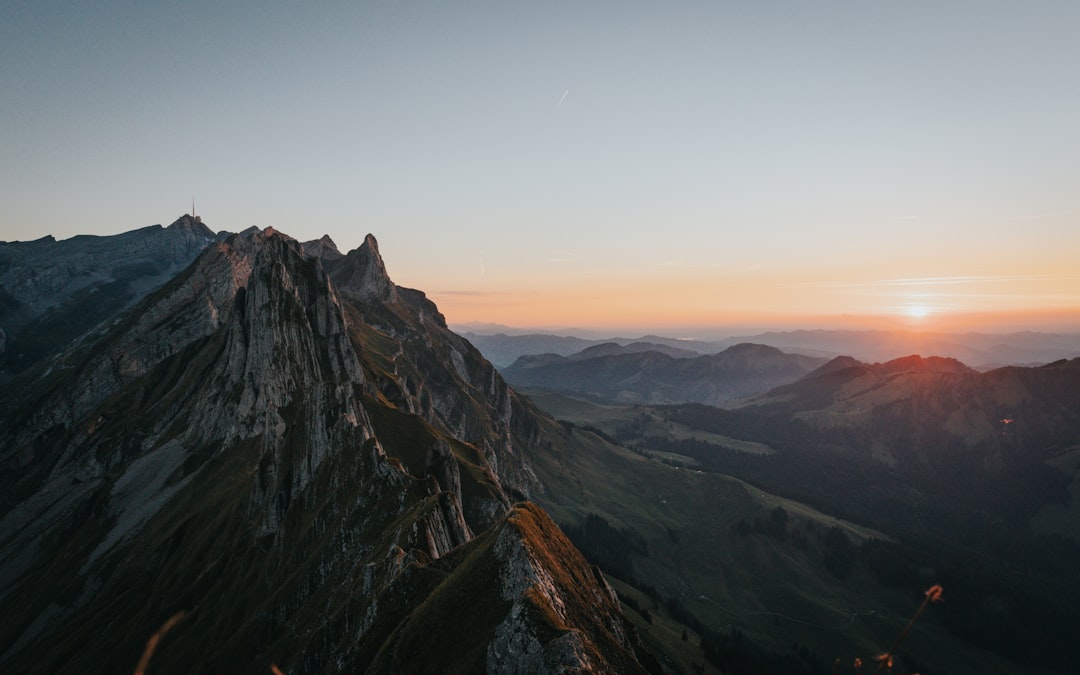
I reached the summit just as the sun began to dip below the horizon, painting the sky in shades of orange and purple. The wind had died down, and the silence was absolute. I sat on a rock, looking out over the Albanian side, and I felt a strange sense of peace. There were no borders here, no divisions, just a vast, open landscape that belonged to everyone and no one. I thought about the people who had walked this same path before me, the shepherds, the rebels, the explorers, and I wondered what they had felt when they stood here, looking out at the world.
I took out my notebook and wrote down a few lines, but they seemed inadequate. How do you describe a place that defies description? How do you capture the feeling of standing on the edge of the world, where the air is thin and the sky is endless? I couldn't. So I closed the notebook, took a deep breath, and let the moment sink in. This was not just a hike. It was a revelation. And as I began the long descent back to the hut, I knew that I would be back. Because some places, once you have been there, never really leave you.
Comments