


The coffee in Kotor tasted like burnt rubber and ambition, a fitting fuel for the madness I was about to embark on. I sat on a stone bench overlooking the Adriatic, watching a cruise ship belch tourists onto the promenade while I checked my blister count. Three, and counting. The plan was to walk the Via Dinarica, a 1,200-kilometer spine of the Balkans stretching from the coast of Montenegro to the border of Slovenia. It sounded romantic in a guidebook; in reality, it was a vertical gauntlet of limestone, brambles, and sheer elevation gain that would make a goat question its life choices. I wasn't here for the views, though they were relentless. I was here to see if a human being could survive the Dinaric Alps without losing their mind, their gear, or their will to keep putting one foot in front of the other.
The trail isn't a polished path like the Camino de Santiago. It's a negotiation with the terrain. You don't walk the Via Dinarica; you wrestle it. From the humid, subtropical climes of Montenegro's coast to the karst deserts of Bosnia, the misty peaks of Herzegovina, and the rugged, pine-scented ridges of Croatia, the landscape shifts faster than a politician's promise. I started with a full pack, a stiff upper lip, and zero idea that I'd end up trading my expensive hiking boots for a pair of worn-out sneakers in a village in Dubrovnik because the rocks had decided to eat them. This is the story of that walk. The sweat, the silence, and the strange, stubborn beauty of the Balkans' backbone.
The Montenegro Start: Coast to Karst
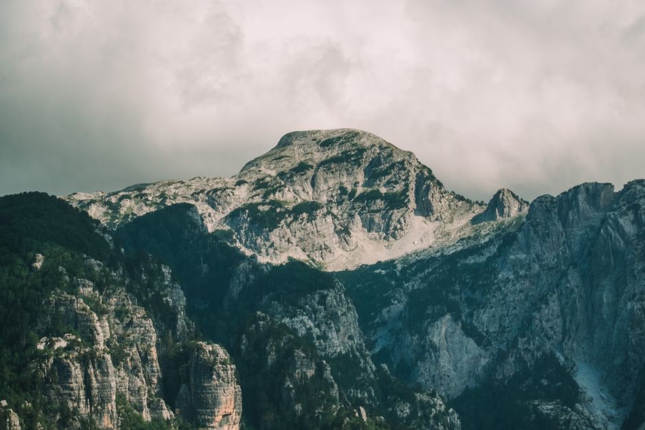
The journey begins in the shadow of Lovćen National Park, where the mausoleum of Njegoš sits atop a jagged peak. The first few days are a brutal ascent from the Adriatic coast into the highlands. The air changes rapidly. One minute you are breathing the salty, humid air of the bay; the next, you are in thin, crisp mountain air, surrounded by shepherds and their sheep. The trail here is steep, often following old mule tracks that are more suggestion than path. You climb through dense forests of beech and fir, then emerge into open meadows where the wind strips the heat away. It's exhausting, but the reward is the sense of isolation. You feel like the first person to walk these slopes in centuries.
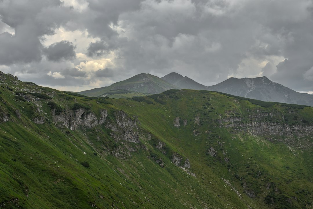
As you push north into Bosnia and Herzegovina, the landscape transforms into a karst wonderland. The ground is a mosaic of sinkholes, caves, and dry riverbeds. Prokletije National Park offers some of the most dramatic scenery on the entire route. The peaks here are sharp, almost aggressive, piercing the sky like broken glass. The trail winds through high alpine meadows, offering panoramic views that stretch across multiple borders. It's a place of raw, untamed beauty, but it's also unforgiving. Weather can change in minutes, turning a sunny hike into a whiteout. You need to be prepared for everything, and even then, you might not be.
The Bosnian Crucible: Herzegovina's Heart
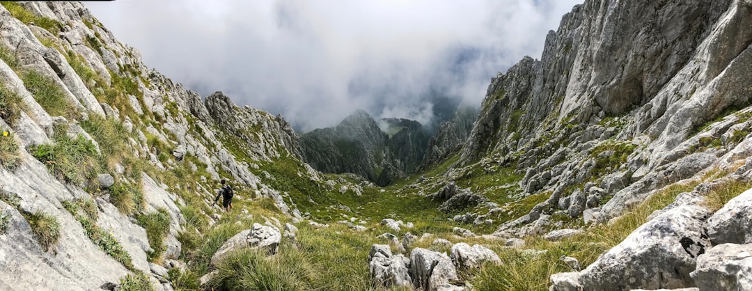
Entering Bosnia and Herzegovina, the Via Dinarica takes you into the rugged heart of Herzegovina. This is where the trail gets serious. The terrain is more rugged, the climbs steeper, and the infrastructure less developed. You'll pass through small, ancient villages where time seems to have stopped. The houses are built of stone, with roofs of slate or tile, and the streets are narrow and winding. The people here are proud, resilient, and incredibly hospitable. A simple "Zdravo" can earn you a seat by a fire, a glass of rakija, and a meal of home-cooked food. It's a stark reminder that despite the hardships of the trail, human connection remains the most vital resource.
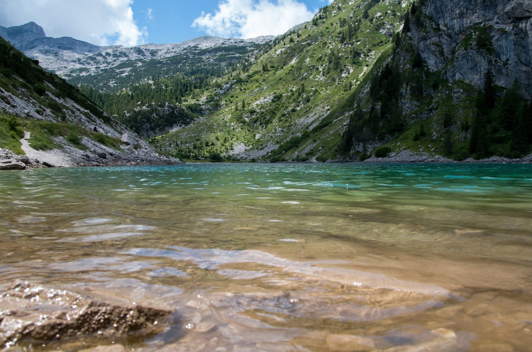
The highlight of this section is the Sutjeska National Park. The trail winds through dense forests, past glacial lakes, and up to the summit of Maglić, the highest peak in Bosnia and Herzegovina. The climb is long and grueling, but the view from the top is worth every step. You can see across the border into Montenegro and Serbia, a vast expanse of mountains and valleys stretching to the horizon. It's a moment of pure, unadulterated awe, a reminder of the scale and grandeur of the Dinaric Alps. But don't get too comfortable. The descent is just as challenging, and the trail doesn't let up.
The Croatian Ascent: Dinara and Beyond
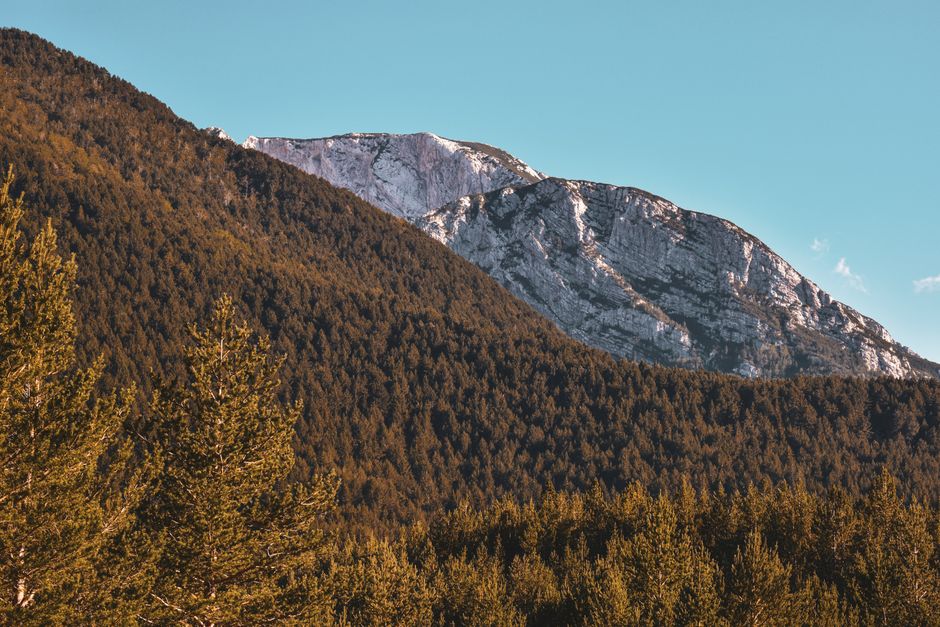
Crossing into Croatia, the trail enters the Dinara massif, a region of high peaks and deep valleys. The landscape here is a mix of alpine meadows, rocky ridges, and dense forests. The trail is well-marked, but the terrain is still challenging. You'll climb to the summit of Dinara Peak, the second-highest peak in Croatia, where the views are spectacular. On a clear day, you can see the Adriatic Sea to the south and the Pannonian Plain to the north. It's a breathtaking panorama, a testament to the diversity of the Balkan landscape. But the beauty comes at a price. The weather is unpredictable, and the winds are fierce. You need to be prepared for all conditions, and even then, you might not be safe.
As you continue north, the trail becomes more rugged and less frequented. You'll pass through small villages and remote mountain passes, where the only signs of civilization are the occasional shepherd's hut or the sound of a distant church bell. The isolation is profound, but it's also liberating. You're alone with your thoughts, your footsteps, and the rhythm of the trail. It's a chance to disconnect from the world and reconnect with yourself. But it's also a test of endurance. The days are long, the climbs are steep, and the nights are cold. You need to be strong, both physically and mentally, to make it through.
Routes & Trail Info
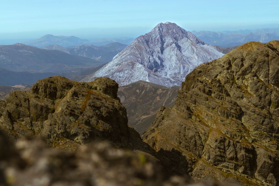
The Via Dinarica is divided into three main sections: the Southern Section (Montenegro), the Central Section (Bosnia and Herzegovina), and the Northern Section (Croatia). Each section has its own challenges and rewards. The Southern Section is the most rugged and remote, with high peaks and deep valleys. The Central Section is more varied, with a mix of forests, meadows, and karst landscapes. The Northern Section is the most accessible, with better infrastructure and more frequent villages. However, all sections require a good level of fitness and experience. The trail is not for beginners. You need to be prepared for long days, steep climbs, and unpredictable weather. It's a serious undertaking, but it's also one of the most rewarding hikes in Europe.
Southern Section (Montenegro): Starts in Kotor, ends in Podgorica. Total distance: ~350 km. Elevation gain: ~15,000 m. Estimated duration: 15-20 days. Difficulty: Experienced. Key highlights: Lovćen National Park, Prokletije National Park.
Central Section (Bosnia and Herzegovina): Starts at the Montenegrin border, ends at the Croatian border. Total distance: ~400 km. Elevation gain: ~18,000 m. Estimated duration: 18-22 days. Difficulty: Experienced. Key highlights: Sutjeska National Park, Maglić Peak.
Northern Section (Croatia): Starts at the Bosnian border, ends in Slovenia. Total distance: ~450 km. Elevation gain: ~20,000 m. Estimated duration: 20-25 days. Difficulty: Experienced. Key highlights: Dinara Peak, Biokovo Mountains.

Getting There & What to Expect
Getting to the start of the trail in Kotor is relatively easy. The nearest major airport is Tivat Airport, which is about 30 minutes from Kotor. From there, you can take a bus or taxi to the town. The trailhead is in the center of Kotor, so it's easy to find. Once you're on the trail, you'll need to rely on your own resources. There are no refuges or huts along most of the route, so you'll need to carry all your gear and food. Water sources are available, but you should always carry a filter or purification tablets. The best time to hike the Via Dinarica is from May to September, when the weather is warm and the days are long. However, even in summer, you should be prepared for rain and wind. It's a wild and unpredictable place, and you need to respect it.
Accommodation options are limited. In the villages, you can find guesthouses or hostels for 15-30 EUR per night. In the remote areas, you'll need to camp. Camping is free, but you need to be careful about fire safety and leave no trace. Food prices vary, but you can expect to pay 5-10 EUR for a meal in a restaurant or 2-5 EUR for groceries. It's important to budget carefully, as there are no ATMs or credit card machines in many of the villages. Cash is king on the Via Dinarica. And remember, the trail is not for the faint of heart. It's a test of endurance, resilience, and spirit. But if you're willing to put in the work, the rewards are immense.
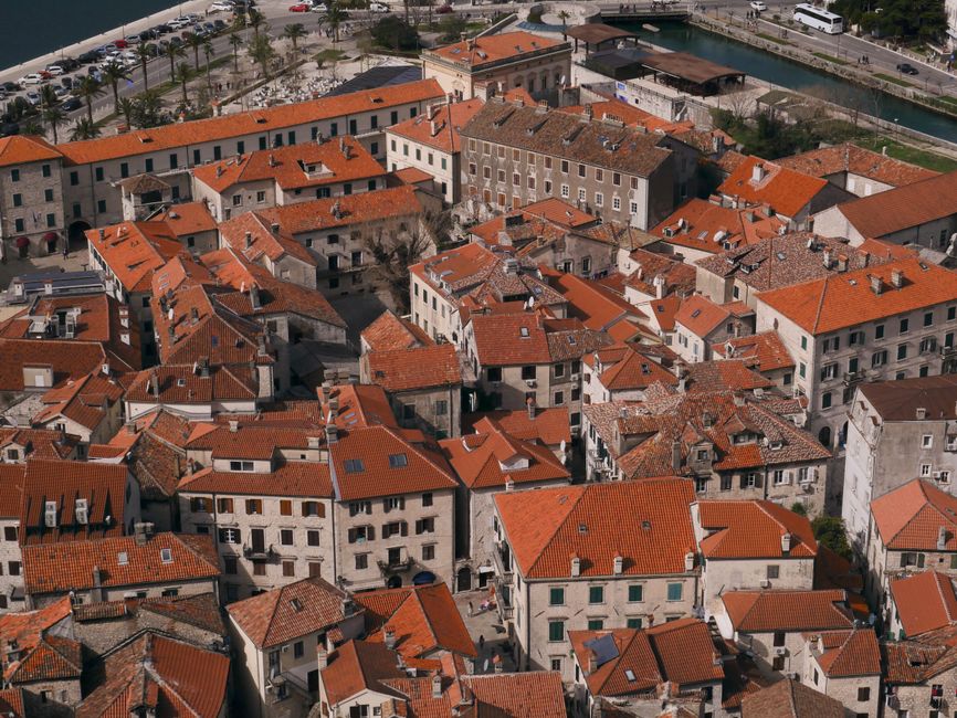
Search accommodation in Kotor on Booking.com →
The Final Push: A Walker's Confession
By the time I reached the border with Slovenia, I was a different person. My pack was lighter, my boots were battered, and my soul was somehow heavier, yet freer. The Via Dinarica doesn't just test your body; it strips away your illusions. You can't hide from the mountains. They see everything: your fear, your doubt, your stubbornness. And in the end, they don't care. They just keep rising, relentless and indifferent. I sat on a rock near the border, watching the sun set over the peaks, and I realized that I hadn't conquered the trail. It had conquered me. And that was exactly the point. The Balkans don't need to be conquered. They just need to be walked. One step, one breath, one blister at a time. If you're brave enough to try, you might just find yourself changed in the process. Or you might just find a new pair of blisters. Either way, you'll remember it.
Comments