


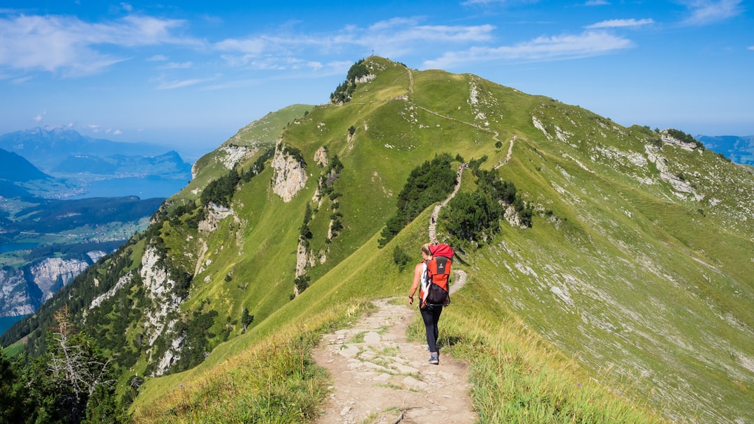
The mud on my boots wasn't just dirt; it was the accumulated grit of three countries, two decades of political turbulence, and enough rain to drown a horse. I was sitting on a rotting log near the border of Montenegro and Bosnia and Herzegovina, watching a goat stare at me with the judgmental intensity of a tax auditor. The Via Dinarica isn't a manicured path like the Camino de Santiago. It is a jagged, stubborn ribbon of limestone and pine that cuts across the Western Balkans, demanding respect rather than offering comfort. You don't hike this trail to find yourself. You hike it to lose the illusion that the Balkans are just a war zone on a postcard. The air here tastes like woodsmoke and wet stone. The silence is heavy, broken only by the distant clatter of a tractor in a valley you can't see.
I started this leg in the high karst of Montenegro, where the map lied to me about the elevation. The trail markers were faded blue and white diamonds, often hidden behind brambles or washed away by flash floods. There are no hostels every ten kilometers here. There are no friendly locals waiting to hand you a map. There is just the mountain, indifferent and massive, and the creeping realization that you are walking through one of Europe's last true wildernesses. This is not a vacation. It is an expedition.
The Geology of Grit
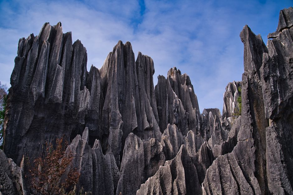
The Dinaric Alps are not a single mountain range but a complex tectonic nightmare that stretches for over 640 kilometers. They form the backbone of the Balkan Peninsula, separating the Adriatic coast from the continental interior. The landscape is defined by karst topography: sinkholes, underground rivers, and jagged limestone peaks that look like broken teeth against the sky. This geology dictates everything. Water disappears into the ground, leaving the surface parched in summer and treacherous in winter. The trails follow ridges because the valleys are often flooded with sinkholes or blocked by sheer cliffs.
Walking the Via Dinarica means navigating three distinct sections: the Southern, Central, and Northern routes. The Southern section begins in Kotor, Montenegro and climbs into the rugged interior. The Central section crosses through the dense forests of Bosnia and Herzegovina and Serbia. The Northern section ends in Slovenia, near the border with Italy. Each section has its own character, its own challenges, and its own hidden beauty. The trail is not a single continuous path but a network of trails, roads, and tracks that require constant navigation and decision-making. You are not just following a line; you are interpreting the landscape.
The vegetation is equally unforgiving. High alpine meadows give way to dense beech forests, then to scrubby oak and pine. In the higher elevations, the wind is constant, whipping through the passes and chilling you to the bone even in July. The flora is resilient, clinging to rocky outcrops and surviving on minimal soil. It is a landscape that rewards patience and punishes haste. You must move with the rhythm of the mountains, not against it.
On the Ground: Survival and Strategy
Forget the idea of a comfortable hike. The Via Dinarica requires serious preparation. Water is the biggest challenge. Streams are often dry or contaminated, and springs are not always reliable. You must carry at least 3 liters of water at all times, and filter or treat anything you find. Food resupply is sporadic. In Montenegro, you might find a village shop every 20 kilometers. In Bosnia, you might go 40 kilometers without seeing a building. Plan your meals carefully and carry high-energy foods like nuts, cheese, and dried meat.
Shelter is another critical issue. There are no mountain huts along most of the trail. You must be prepared to camp wild or find rare guesthouses in remote villages. Tent camping is the norm, but you need a sturdy tent that can withstand high winds and heavy rain. The weather changes rapidly in the mountains. A clear morning can turn into a thunderstorm by afternoon. Always carry rain gear and warm layers, even in summer. The trail is not marked consistently, so a good map, a compass, and a GPS device are essential. Do not rely on phone apps alone. Signal is often nonexistent in the valleys and passes.
Respect the local culture and environment. The villages you pass through are often isolated and traditional. Ask permission before entering private land or taking shortcuts through fields. Leave no trace. Pack out all your trash. The mountains are fragile, and the local communities are proud of their heritage. Engage with the people you meet. They may not speak English, but they will appreciate your effort and curiosity. A simple "hvala" (thank you) or "molim" (please) goes a long way. This is not just a hike; it is a cultural immersion. You are walking through the heart of the Balkans, and the people are as much a part of the landscape as the mountains.
Routes & Trail Info
The Via Dinarica is divided into three main sections, each with its own challenges and rewards. The Southern Section (Montenegro) is the most technically demanding, with steep ascents and descents over high passes. The Central Section (Bosnia and Herzegovina, Serbia) is longer and more remote, with fewer facilities and more variable terrain. The Northern Section (Slovenia, Croatia) is more accessible and better marked, with more villages and accommodation options. Most hikers tackle one or two sections over a summer, but completing the entire trail is a major undertaking that can take several months.
For the Southern Section in Montenegro, the main route starts in Kotor and follows the coast up to the Bay of Kotor, then turns inland towards the Durmitor National Park. The trail passes through the rugged peaks of the Prokletije Mountains, offering breathtaking views of the Albanian border. The route is roughly 200 kilometers long and takes 10-14 days to complete. The elevation gain is significant, with many passes above 2000 meters. This section is best attempted in July and August when the snow has melted and the weather is stable.
The Central Section begins in the town of Pljevlja in Montenegro and crosses into Bosnia and Herzegovina. It follows the Drina River valley and then climbs into the high mountains of the Dinaric Alps. The route passes through the towns of Foča, Gacko, and Trebinje, before crossing into Serbia. The trail is roughly 300 kilometers long and takes 15-20 days to complete. The terrain is more varied, with forested valleys, open meadows, and rocky ridges. This section is less crowded but also more remote, requiring careful planning for food and water.
The Northern Section starts in Serbia and crosses into Croatia and Slovenia. It follows the Karst Plateau and the Dinaric Alps towards the Adriatic coast. The route passes through the towns of Ljubljana and Koper, before ending at the Italian border. The trail is roughly 150 kilometers long and takes 7-10 days to complete. This section is the most accessible, with more facilities and better marked trails. It is a great option for hikers who want to experience the Via Dinarica without the extreme challenges of the Southern and Central sections.
Getting There & What to Expect
Getting to the start of the Via Dinarica is relatively easy, but getting around the trail can be challenging. The Southern Section starts in Kotor, Montenegro, which is accessible by bus from Tivat or Podgorica. The Central Section starts in Pljevlja, Montenegro, which is accessible by bus from Podgorica or Belgrade. The Northern Section starts in Sarajevo, Bosnia and Herzegovina, which is accessible by bus or train from Belgrade or Zagreb. Once you are on the trail, you will need to rely on local buses or hitchhiking to get between villages and towns. Public transport is infrequent and unreliable in remote areas, so plan your resupply stops carefully.
Accommodation is limited along the trail. In Montenegro, you might find basic guesthouses or camping spots in villages like Kolašin or Zabljak. In Bosnia, you might find hostels in towns like Sarajevo or Mostar, but camping is more common in the remote sections. In Slovenia, there are more options, including hostels and hotels in Ljubljana and Koper. Budget travelers should expect to pay between 10-20 EUR per night for basic accommodation or camping. Meals can cost 5-15 EUR per serving in local restaurants, but buying groceries in supermarkets is cheaper. Carry enough cash, as credit cards are not widely accepted in remote areas.
The best time to hike the Via Dinarica is from June to September. June and September offer milder temperatures and fewer crowds, but the weather can still be unpredictable. July and August are the warmest months, but also the most crowded. Avoid hiking in winter, as the high passes are covered in snow and the trails are dangerous. Spring can be muddy and wet, with melting snow creating river crossings. Always check the weather forecast before setting out, and be prepared for sudden changes. The mountains are beautiful, but they are also dangerous. Respect the terrain, and you will be rewarded with an unforgettable experience.
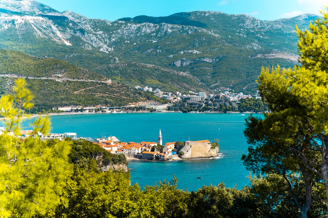
Search accommodation in Montenegro on Booking.com →
The Last Mile
There is a moment, somewhere in the high passes of the Dinaric Alps, where the noise of the modern world falls away. It happens when you crest a ridge and see the valley below, shrouded in mist, with a single village clinging to the side of the mountain like a barnacle. The wind dies down. The birds stop singing. For a few seconds, there is only the sound of your own breathing and the crunch of gravel under your boots. It is a moment of pure, unadulterated presence. You are not a tourist. You are not a hiker. You are just a person, standing on the spine of the Balkans, feeling the weight of history and geology beneath your feet. This is why we hike. Not for the Instagram photos, not for the bragging rights, but for these moments of silence. The Via Dinarica does not give you easy answers. It gives you questions. And sometimes, that is enough.
Comments