


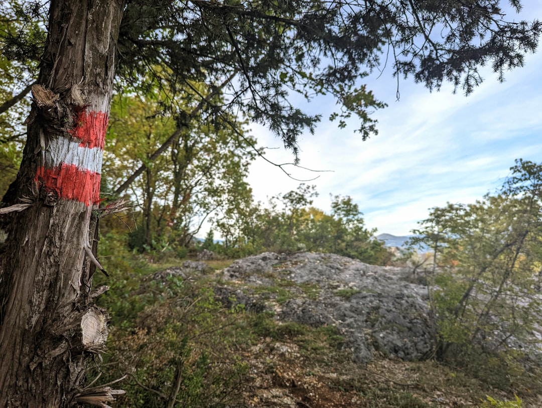
The coffee in Biograd na Moru was too sweet, and the map in my hands was too vague. I sat on a plastic chair outside a bakery that smelled of burnt sugar and diesel, watching a bus rattle past with a sign that pointed vaguely toward the mountains. I was supposed to be hiking the Via Dinarica, a trail system stitched together by idealists and GPS coordinates, stretching from Slovenia to Albania. But here, on the edge of the Adriatic, the trail felt less like a marked path and more like a suggestion. A local dog, ribs showing through its fur, lay in the sun and looked at me with the judgmental eyes of a creature that knows exactly how far I have to walk. I bought a stale sandwich for 2 EUR, shoved it in my backpack, and started walking north. The air was thick with the scent of pine and impending rain. This wasn't a vacation; it was an endurance test disguised as tourism.
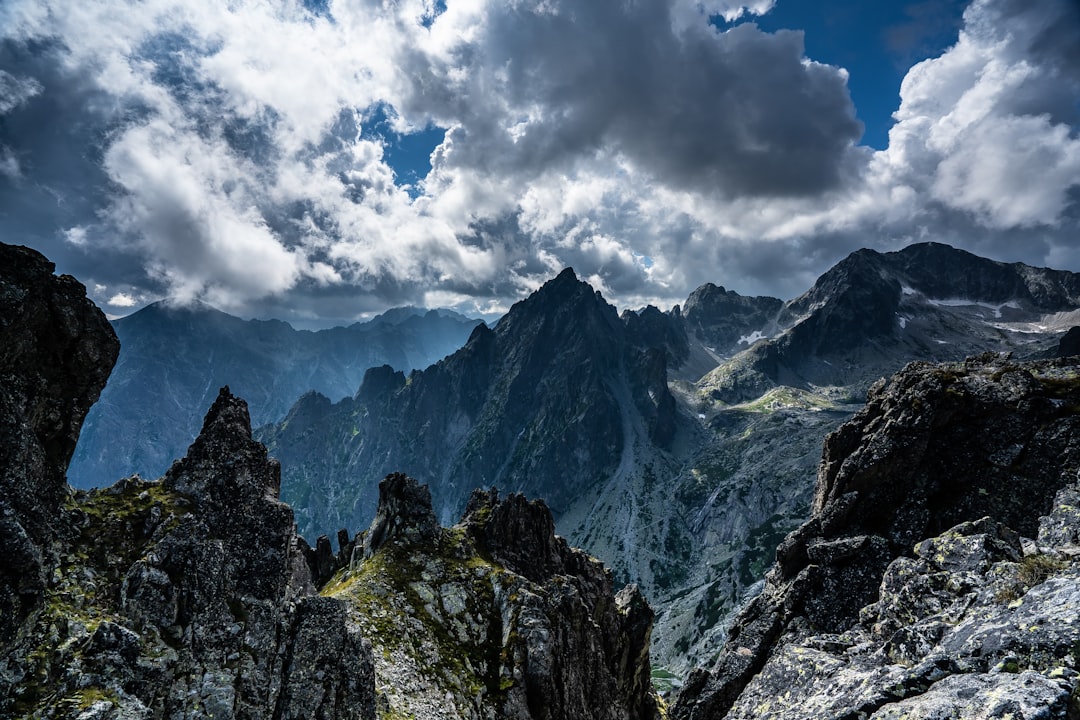
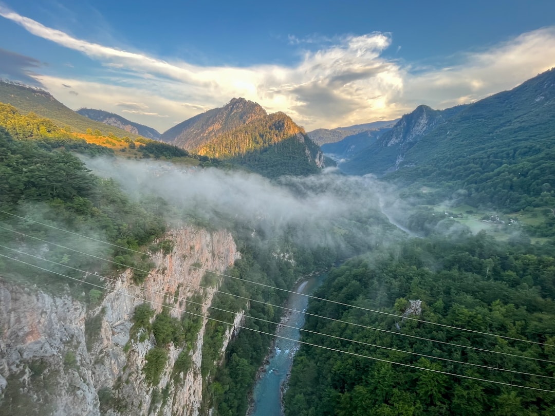
Two days later, I was soaked to the bone, shivering in a meadow above Žabljak, wondering why I thought "intermediate" was a reasonable difficulty rating for a trail that climbs 2,000 meters in a single afternoon. The Via Dinarica isn't the well-polished, cafe-lined Camino de Santiago. It's raw, rugged, and often ambiguous. It cuts through some of the most dramatic limestone terrain in Europe, demanding respect and leaving little room for error. But when the clouds break and you stand on a ridge overlooking a glacial lake that looks like a shard of ice dropped into the earth, you understand the obsession. This is the Balkans in its most untamed form.
The Trail That Refuses to Be Tamed
The Via Dinarica is not a single trail but a network of routes connecting the Dinaric Alps across four countries. In Montenegro, it passes through two of the country's most iconic national parks: Durmitor National Park and Lovćen National Park. The Montenegrin section is perhaps the most geographically diverse, swinging from high alpine peaks to dense forests and deep gorges. The trail is maintained by local volunteer groups, which means signage can be sporadic. You need a good map, a reliable GPS app, and a willingness to ask locals for directions when the path disappears into a scree slope.
The history of the trail is as layered as the rock formations it traverses. Originally proposed in the late 2000s, the Via Dinarica was born from a desire to connect communities and promote sustainable tourism in a region scarred by war and economic neglect. It's a trail of reconciliation as much as recreation. As you hike, you pass through villages that still bear the marks of the 1990s conflicts, but also see new guesthouses and eco-lodges springing up, signaling a slow but steady recovery. The trail doesn't just move you through space; it moves you through time.
Routes & Trail Info: The Montenegrin Section
The Montenegrin leg of the Via Dinarica is roughly 350 kilometers long, but most hikers tackle it in segments. The most popular section is the loop through Durmitor National Park, which includes the famous Seven Lakes and the ascent of Bobotov Kuk, the second-highest peak in Montenegro. This section can be done in 5-7 days, depending on your pace and fitness level. Another key segment is the climb up Lovćen Mountain, which culminates at the mausoleum of Njegoš, a cultural and historical landmark that offers panoramic views of the Bay of Kotor.
For those looking for a more challenging experience, the Biogradska Gora National Park offers a less crowded alternative, with trails that wind through primeval forests and around Biogradsko Lake. The terrain here is rugged, with steep ascents and descents that require good footwear and knee stability. Water sources can be scarce in the summer months, so carrying at least 2-3 liters of water per day is essential. Camping is allowed in designated areas within the national parks, but you must register at the park entrances. Huts and refuges are available at key points, such as the Crnojevići Hut near Žabljak, but bookings should be made in advance during peak season.
Here are the key route details for the Durmitor section:
- Route: Žabljak to Crnojevići Hut to Bobotov Kuk summit ~5 EUR park entry fee. 10-15 EUR hut accommodation per night. Distance: 12 km round-trip from hut to summit. Elevation gain: 1,000 m. Estimated duration: 6-8 hours. Difficulty: Experienced. Steep, exposed sections with loose rock.
- Route: Seven Lakes Valley loop ~5 EUR park entry fee. Distance: 10 km loop. Elevation gain: 400 m. Estimated duration: 3-4 hours. Difficulty: Intermediate. Well-marked, moderate terrain.
- Route: Cetinje to Lovćen Mausoleum ~3 EUR park entry fee. Distance: 10 km round-trip. Elevation gain: 800 m. Estimated duration: 4-5 hours. Difficulty: Intermediate. Paved sections near the top, steep stairs.
On the Ground: Food, Shelter, and Survival
When you're hiking at 2,000 meters, the concept of "gourmet dining" takes a backseat to hot soup and a dry bed. In the mountain huts, meals are simple but hearty. Expect njeguški pršut (cured ham), kačamak (cornmeal porridge), and skuta (fresh cheese) for breakfast. Lunch is usually a sandwich you bring yourself, or a quick stop at a village shop if you're lucky. Dinner is often a communal affair, with hikers sharing stories over a pot of stew. Prices are reasonable: a full meal in a hut costs around 10-15 EUR, while a bottle of local wine might set you back 3-5 EUR.
In the towns and villages along the trail, such as Žabljak and Kolašin, you'll find more options. Žabljak has a surprising number of restaurants and bars, given its remote location. Try the čorba (soup) at a local tavern, or grab a coffee at one of the cafes overlooking the Tara River Canyon. For budget travelers, buying groceries in Kolašin or Podgorica before hitting the trail is a smart move. A week's worth of food for one person can cost around 50-70 EUR if you shop wisely.
Accommodation options vary from basic huts to mid-range hotels. In Žabljak, you can find budget rooms for 20-30 EUR per night, while more comfortable hotels range from 50-80 EUR. Camping is the cheapest option, with sites costing 5-10 EUR per night, but be prepared for cold nights and limited facilities. The key is flexibility: have a plan, but be ready to adapt when the weather turns or a trail is blocked.
Getting There & What to Expect
The nearest major airport is Podgorica Airport, with connections to major European hubs. From Podgorica, you can take a bus to Žabljak or Kolašin, the main gateways to the Durmitor section. The bus ride takes about 2-3 hours and costs around 10-15 EUR. Alternatively, you can rent a car for greater flexibility, with daily rates starting at 30-50 EUR. The roads to the trailheads are generally in good condition, but mountain weather can make them treacherous in winter and early spring.
For the Lovćen section, the starting point is Cetinje, the old royal capital of Montenegro. Cetinje is easily accessible from Podgorica by bus or car, with a travel time of about 30 minutes. The trailhead for the Lovćen Mausoleum is at the base of the mountain, with a parking area available for a small fee. The hike is shorter but steeper than the Durmitor routes, and it's suitable for most fitness levels.
The best time to hike the Via Dinarica in Montenegro is from June to September, when the weather is warm and the trails are clear. July and August are the busiest months, so expect more crowds and higher prices. May and October can be unpredictable, with rain and even snow at higher elevations, but the lack of crowds and the vibrant autumn colors make it a rewarding time for experienced hikers. Winter hiking is possible but requires specialized gear and local knowledge.
Budget breakdown for a 5-day trek:
- Accommodation (huts/hostels): 100-150 EUR total
- Food: 100-150 EUR total
- Transport: 50-100 EUR total
- Park entry fees: 15-25 EUR total
- Total estimated cost: 265-425 EUR
Search accommodation in Zabljak on Booking.com →
The Weight of the Pack, The Lightness of the Soul
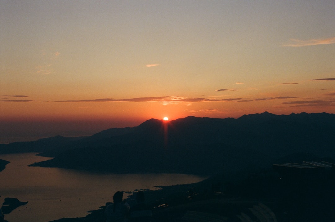
I reached the summit of Bobotov Kuk just as the sun was setting, painting the sky in shades of orange and purple. My legs were burning, my feet were blistered, and my backpack felt like it was filled with lead. But as I looked out over the endless expanse of peaks and valleys, I felt a strange sense of peace. The trail had stripped away the distractions of modern life, leaving only the essentials: breath, step, rhythm. There was no Wi-Fi, no notifications, no deadlines. Just the mountain and me.
On the descent, I passed a young shepherd tending his flock, his face weathered by the elements. He nodded at me, a silent acknowledgment of shared struggle. I nodded back, realizing that this trail wasn't just about conquering peaks; it was about connecting with the land and the people who live on it. The Via Dinarica is not for everyone. It's hard, it's unpredictable, and it demands everything you have. But if you're willing to give it your all, it gives back more than you can imagine. It gives you yourself, back.
Comments