


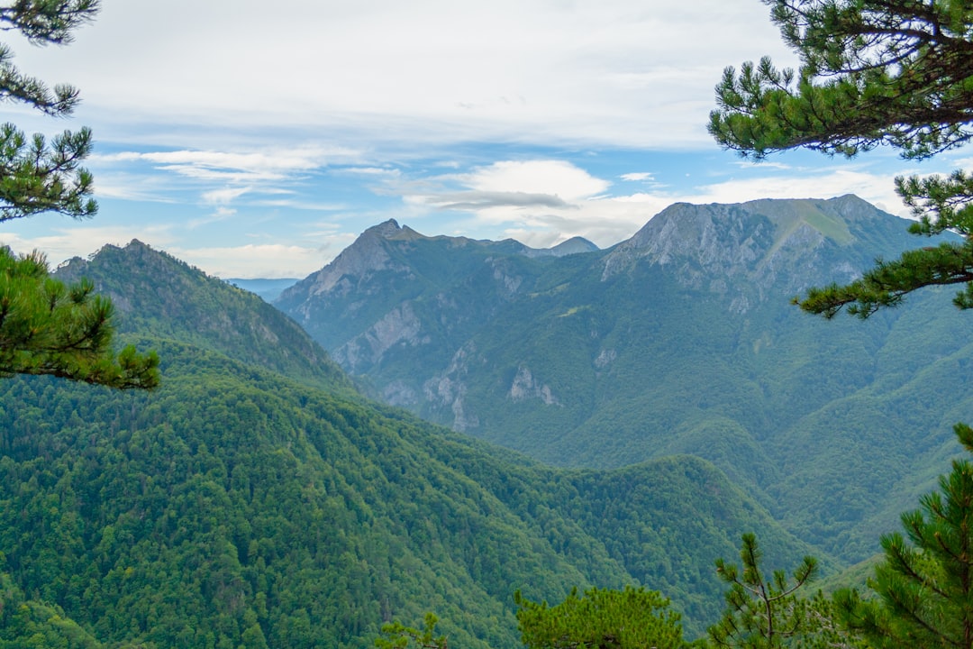
The air at 2,000 meters doesn't just get thin; it gets heavy with the scent of wet pine and ancient, damp stone. I stood at the edge of the parking lot near Gacko, my lungs burning from the drive up the winding roads of southeastern Bosnia, staring up at the jagged spine of Maglić. This isn't a hike for the Instagram crowd in fresh sneakers. This is a pilgrimage to the highest point in Bosnia and Herzegovina, a place where the clouds don't roll in—they crash against the rock face like a white-water rapid. I had heard the stories from the locals in the nearby villages, tales of sudden fog that swallows you whole and temperatures that drop faster than your morale on a Tuesday afternoon. I wasn't here for a stroll. I was here to see if the mountain would break me or just ignore me.
Trekking around Sutjeska National Park is less about conquering a summit and more about surviving a mood swing. The park itself is a massive, untamed beast of limestone karst, dense forests, and historical weight that you can feel in the ground beneath your boots. While most tourists flock to the waterfall or the memorial sites, the real magic—and the real pain—happens when you turn your back on the paved paths and head for the high ridges. It's raw, unfiltered, and utterly indifferent to your travel plans.
The Wall of the Balkans
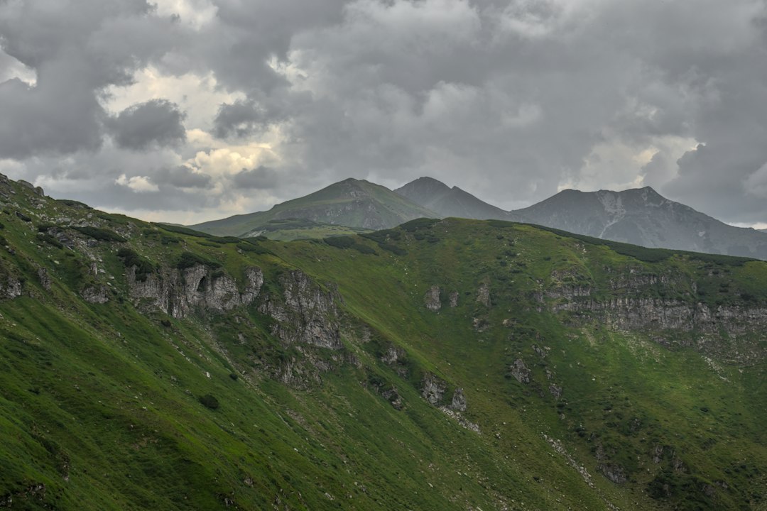
Maglić isn't just a mountain; it's a geological argument. Rising sharply from the surrounding plains, it forms a natural border between Bosnia and Herzegovina and Montenegro. The name itself, derived from the Slavic word for "thorn" or "prickly," tells you everything you need to know about the terrain. This is karst country, where the ground is full of holes, sinkholes, and hidden drops that don't care about your hiking boots. The peak stands at 2,386 meters, making it the highest point in Bosnia and Herzegovina, but the altitude is only part of the challenge. The exposure is what gets you.
The history here is layered like the rock strata. Sutjeska National Park is famous for the Battle of Sutjeska during World War II, a brutal conflict that left its mark on the landscape. While the battle took place in the lower valleys, the high peaks of Maglić were often shrouded in the same strategic silence. Today, the park serves as a sanctuary for some of the most endangered wildlife in Europe. The Balkan chamois and the golden eagle are the true rulers here, watching from the cliffs with a disdain that feels personal. Walking these trails, you aren't just hiking; you're trespassing in a kingdom that has survived empires, wars, and centuries of isolation.
The biodiversity is staggering. In the lower elevations, you'll find dense beech and fir forests, home to bears, wolves, and lynx. As you climb higher, the trees give way to alpine meadows and then to bare rock. The transition is abrupt. One minute you're in a green cathedral, the next you're exposed to the elements, with nothing but sky above and rock below. It's a place that demands respect, not just for its height, but for its wild, untamed nature.
Approaching the Summit
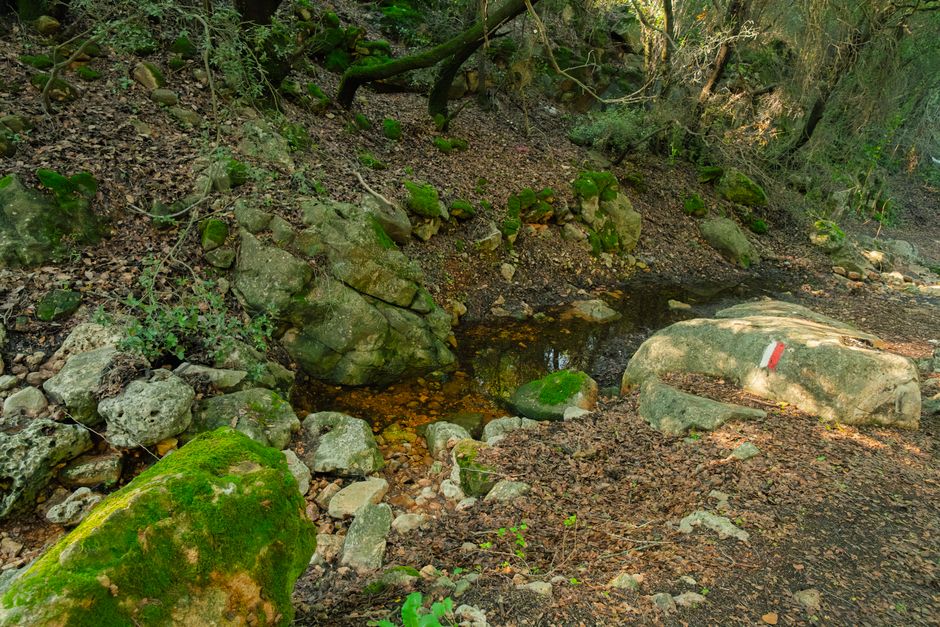
There is no single "easy" way to Maglić. The mountain doesn't do easy. The most common approach starts from the village of Gacko, but you can also approach from the Montenegrin side, which is often less crowded but requires more logistical planning. The trail from Gacko climbs steadily, winding through forests and then breaking out onto the high ridges. The path is marked, but "marked" in the Balkans often means a faint line of red paint on a rock or a barely visible trail through the heather. Navigation skills are not just recommended; they are essential.
The weather on Maglić is a separate entity from the weather in the valleys. It can be sunny and warm in Gacko while it's hailing on the summit. Fog is the biggest enemy. It rolls in fast, reducing visibility to zero in minutes. If you're caught in the fog near the ridge, the drop-offs are severe and often unmarked. I've seen hikers, confident and well-equipped, turn back because the cloud cover was too thick. It's a wise decision. The mountain doesn't care about your schedule. It operates on its own time, and when it closes the door, you leave.
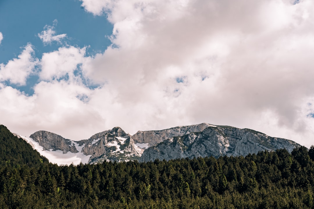
The final push to the summit is a scramble over loose rock and steep slopes. It's not technical climbing, but it's exposed and requires a head for heights. The view from the top, when the clouds part, is worth every step. You can see the entire Dinaric Alps stretching out to the horizon, the Adriatic Sea glinting in the distance, and the rugged landscape of southeastern Bosnia. It's a view that puts everything in perspective, reminding you of how small you are in the grand scheme of things.
Routes & Trail Info
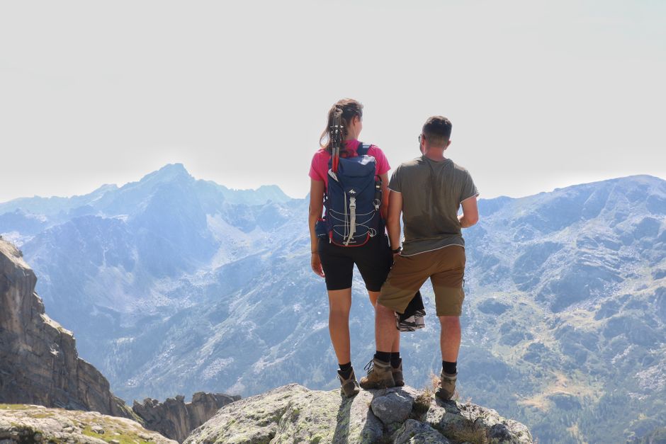
The primary route to the summit is from Gacko. You start at the parking area near the village, which is at an elevation of about 600 meters. From there, the trail climbs steadily through the forest, passing several mountain huts and viewpoints. The total distance to the summit is approximately 12 kilometers one way, with an elevation gain of nearly 1,800 meters. It's a long, hard day, typically taking 8 to 10 hours for a fit hiker. The difficulty is rated as Experienced, due to the length, the elevation gain, and the variable weather conditions.
An alternative route is from the village of Bileća, which is on the Montenegrin side. This approach is slightly shorter but steeper in sections. The trail is less well-marked and requires good navigation skills. It's also more remote, with fewer facilities along the way. This route is for those who want to avoid the crowds and are comfortable with self-guided trekking. The summit is the same, but the journey is different, offering a unique perspective on the mountain's geology and ecology.
There is also a option to do a circular trek, starting from Gacko and descending via the Montenegrin side, or vice versa. This requires coordination with transport on both sides of the border and a solid understanding of the trails. It's a challenging but rewarding way to see the mountain from multiple angles. Regardless of the route you choose, preparation is key. Bring plenty of water, high-energy food, and layers of clothing to handle the changing weather. A map and compass, or a reliable GPS device, are essential. Do not rely on your phone signal, as it is non-existent on the upper slopes.
Getting There & What to Expect
The nearest major town to the trailhead is Gacko, located about 60 kilometers from Trebinje. Trebinje is a charming town on the border with Montenegro, with good bus connections to Sarajevo, Mostar, and other major cities in Bosnia. From Trebinje, you can take a bus to Gacko, which takes about 1.5 hours. Alternatively, you can rent a car in Trebinje or Sarajevo and drive up. The road to Gacko is well-paved but winding, so drive carefully. The parking area near the village is free, but it fills up quickly on weekends and holidays.
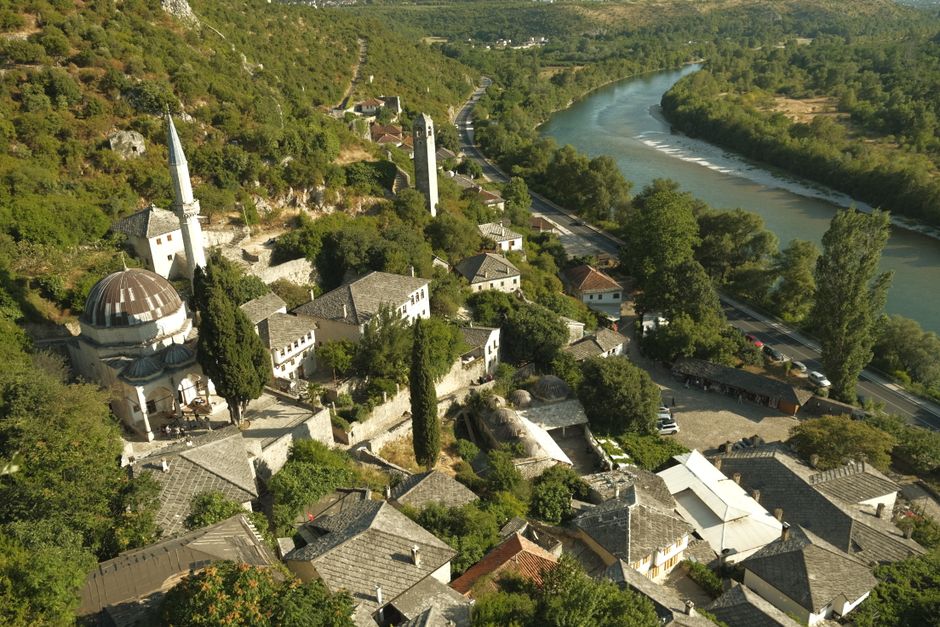
Accommodation in Gacko is basic but functional. There are several private rooms and small guesthouses in the village, with prices ranging from 20-40 EUR per night. If you prefer camping, there are designated areas near the trailhead, but facilities are minimal. It's best to bring your own tent, sleeping bag, and cooking equipment. Meal prices in Gacko are affordable, with a simple lunch costing around 5-8 EUR. There are a few cafes and restaurants in the village, offering traditional Bosnian food and local wines.
The best time to hike Maglić is from June to September, when the weather is most stable. July and August can be hot in the valleys, but the summit remains cool. Spring and autumn are possible, but the weather is unpredictable, and the trails can be muddy or icy. Winter hiking is not recommended for all but the most experienced mountaineers, as the conditions are severe and rescue services are limited. Regardless of the season, always check the weather forecast before you go, and be prepared to turn back if conditions deteriorate.
Search accommodation in Gacko on Booking.com →
The Silence After the Storm
Descending from Maglić is almost as challenging as the ascent. Your legs are tired, your focus is waning, and the trail is steep and rocky. But as you drop back into the forest, the air changes again. It becomes warmer, thicker, and filled with the sounds of birds and rustling leaves. The isolation of the summit fades, replaced by the comforting presence of the woods. You feel a sense of accomplishment, not just because you reached the top, but because you survived the mountain's test.
Back in Gacko, the world feels different. The lights of the village seem brighter, the food tastes better, and the beer is colder. You've been to the roof of Bosnia, and you've come back down. It's a humbling experience, one that reminds you of the power of nature and the fragility of human endeavor. Maglić doesn't give you a souvenir or a certificate. It gives you a story, a memory, and a respect for the wild places that still exist in Europe. And that's worth more than any summit photo.
Comments